The idea
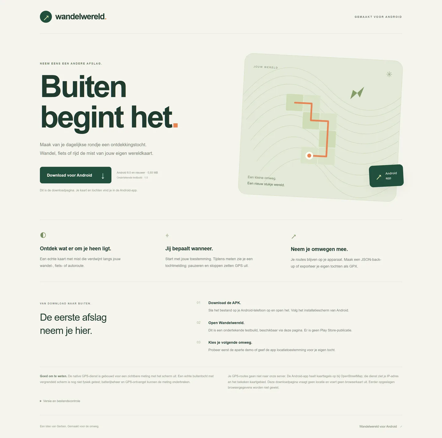
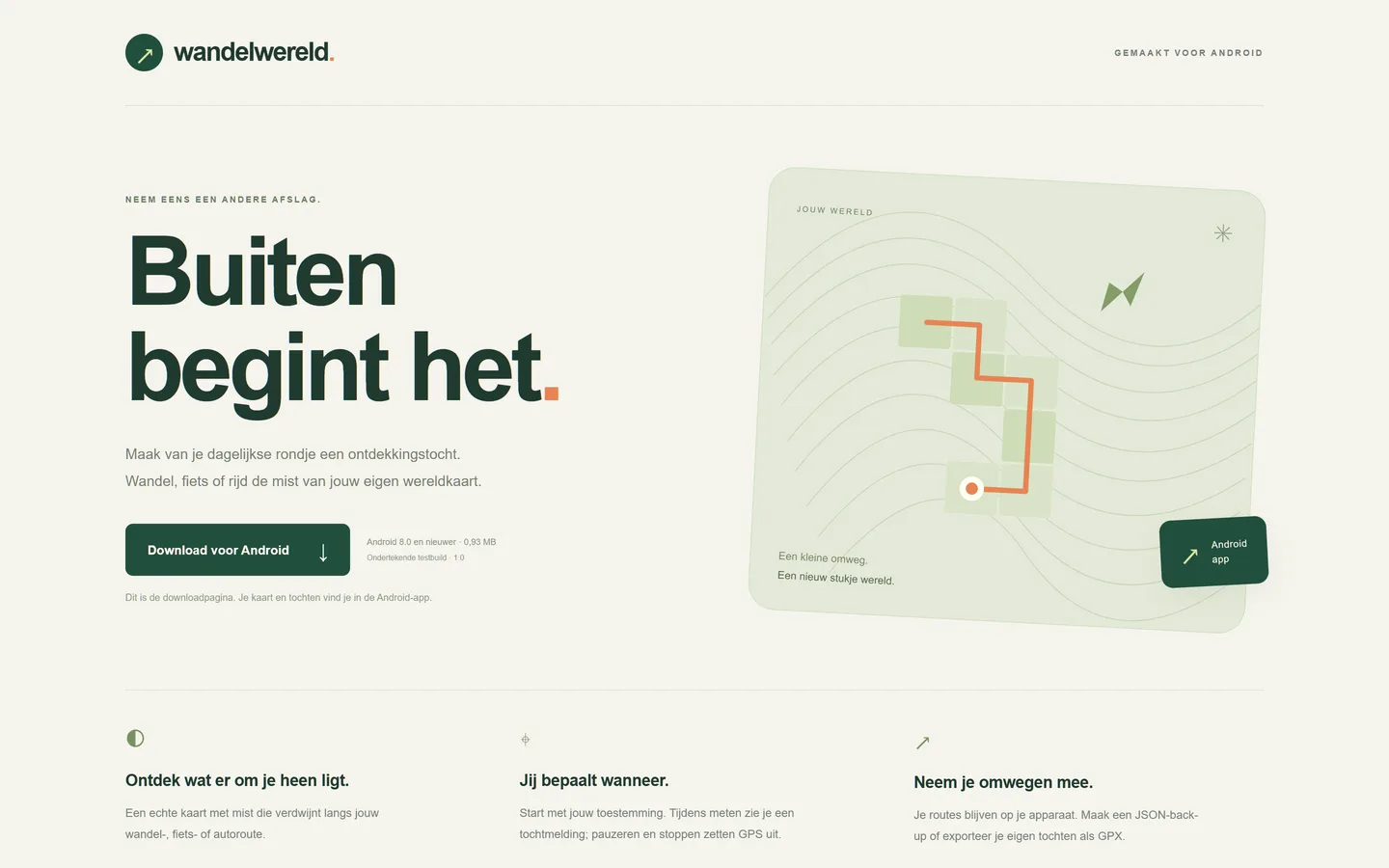
Vonk contained a simple starting point: unlock the world map by walking, cycling or driving through it yourself. Wandelwereld turns that into a reason to take a different turn. There is no leaderboard, just your own map growing with your trips.
Out of the fog
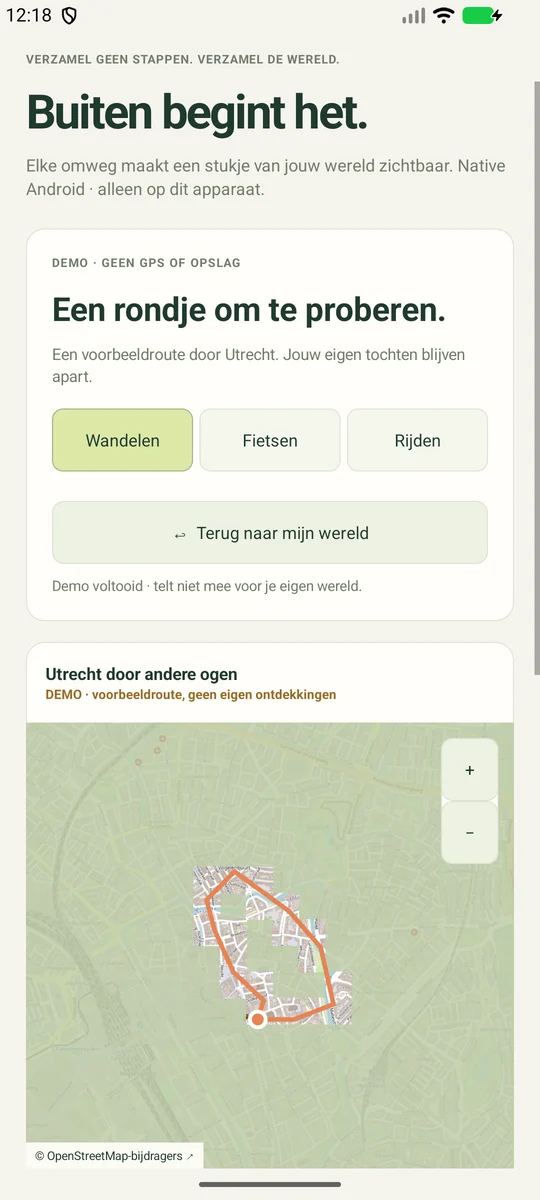
The Kotlin app draws OpenStreetMap tiles and the fog layer directly on an Android Canvas. Visited grid cells become transparent; the map supports panning, zooming and centring. The Utrecht demo stays separate from your trips, requests no location and never enters history or exports. The companion page only provides the APK download and instructions; the map and GPS run in the Android app.
You choose when
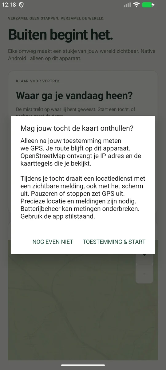
GPS only starts after your action and permission. An Android foreground service displays an ongoing notification with Pause and Stop & save while recording; opening or restarting the app does not start a new recording. Inaccurate points, jumps and measurement gaps are filtered. Routes stay in private app storage; OpenStreetMap only receives tile requests for the viewed map, with your IP address.